コンテンツへスキップ
PoTaBeRu
home
topic
event
library
archive
2025
2024
2023
2022
2021
2020
2019
2018
2017
2016
2015
2014
2013
2012
2011
2010
2009
Hiking
KaTaBeRu
sitemap
about as
events
history
activity
contact
facebook
Instagram
検索
検索:
PoTaBeRu
メニューを閉じる
home
topic
event
library
archive
2025
2024
2023
2022
2021
2020
2019
2018
2017
2016
2015
2014
2013
2012
2011
2010
2009
Hiking
KaTaBeRu
sitemap
about as
events
history
activity
contact
facebook
Instagram
PoTaBeRu
検索
トグルメニュー
検索:
4 archive
、
archive 2014
2014/11/03
2017/11/08
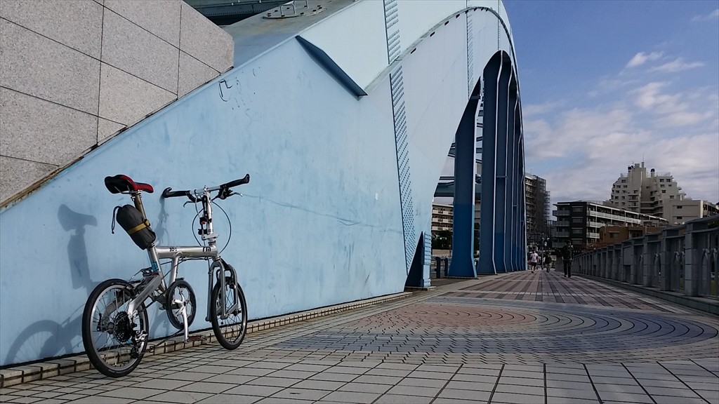
多摩川サイクリングロード 20141103
[cft format=1] [cft format=2]
投稿ナビゲーション
ツール・ド・三陸 ~サイクリングチャレンジ2014~ in りくぜんたかた・おおふなと 20141102
秋の碓氷峠のんびりヒルクライム 20141108