random10 slidshow & photo gallery


photo gallery


gps trackmap & profile
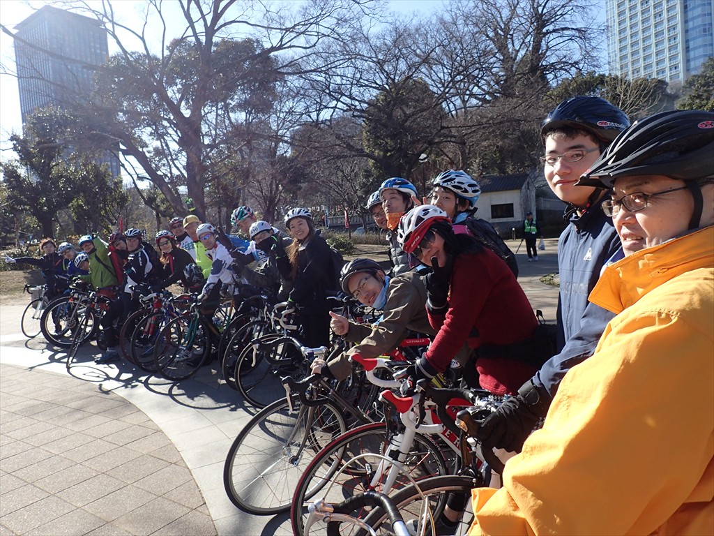
Map of the route “東京アースデイ自転車ライド試走 20150118”: 16,316 m, 53 m of climbing and 58 m of descent, elevation between 5 m and 45 m, time 02:32:13. It is a loop that starts and ends at 35.67525, 139.71954 (latitude, longitude).
合計距離: 16316 m
累積標高(上り): 53 m
累積標高(下り): 58 m
総所要時間: 02:32:13
累積標高(上り): 53 m
累積標高(下り): 58 m
総所要時間: 02:32:13


